


The Garmin BirdsEye Satellite Imagery Retail Card for Computer Accessories
Original price was: $39.99.$27.99Current price is: $27.99.
- Get the Best for Less
- Multiple safe payment methods
- Peace of Mind with Every Purchase
- Nature-friendly materials, 100%.

The Garmin BirdsEye Satellite Imagery Retail Card makes it even easier to transfer high-resolution satellite imagery to your GPS handheld device to get a true representation of your surroundings with a 1-year subscription to BirdsEye Satellite Imagery.
BirdsEye Satellite Imagery maps provide true representation of your surroundings with high-resolution color imagery. Use your BirdsEye Satellite Imagery subscription with BaseCamp to quickly transfer an unlimited amount of satellite images to your device, with frequent updates, and seamlessly integrate those images into your handheld’s maps whenever you need them.
Features
Always Accurate – Images updated frequently for greater accuracy. Plus, the download process is optimised for smoother, faster updates.
High-Resolution – Captures the world in brilliant clarity and detail with high-resolution sub-metre color satellite imagery.
Layer – Allows you to layer vector maps on your handheld (such as TOPO 100K, TOPO 24K or City Navigator) with BirdsEye Satellite Imagery for a real-life view of roads, buildings and terrain.
Reconnaissance – Makes it easy for hunters to perform preseason scouting, determine placement of stands and locate game pinchpoints.
Trail Finder – Helps hikers and campers find trails/trailheads and clearings for camping areas.
Geocache Assistance – Lets geocachers determine the terrain type around a cache and identify parking areas close to the caches.
Aerial View – Allows travellers to view tourist hot spots and landmarks from an aerial view to make excursions memorable without getting lost.
Be the first to review “The Garmin BirdsEye Satellite Imagery Retail Card for Computer Accessories”
Related products
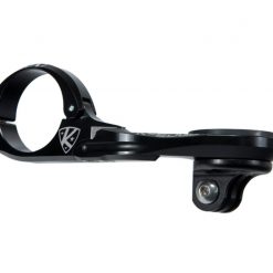

Computer Mounts
Computer Accessories
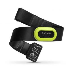
Garmin HRM-Pro Wireless Strap and Sensor for Computer Accessories

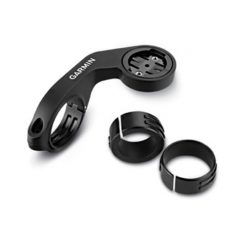
Computer Mounts

Computer Accessories
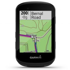
Computers
Computer Accessories

Computer Accessories
Reviews
There are no reviews yet.